In the rural county of Bobai in Guangxi region, rescuers on assault boats have scrambled to pull people to safety since Sunday night as water more than 2 metres (6.6 feet) deep stranded residents in low-rise homes, state media reported on Monday.
Heavy rain is expected to persist in Guangxi over the next few days.
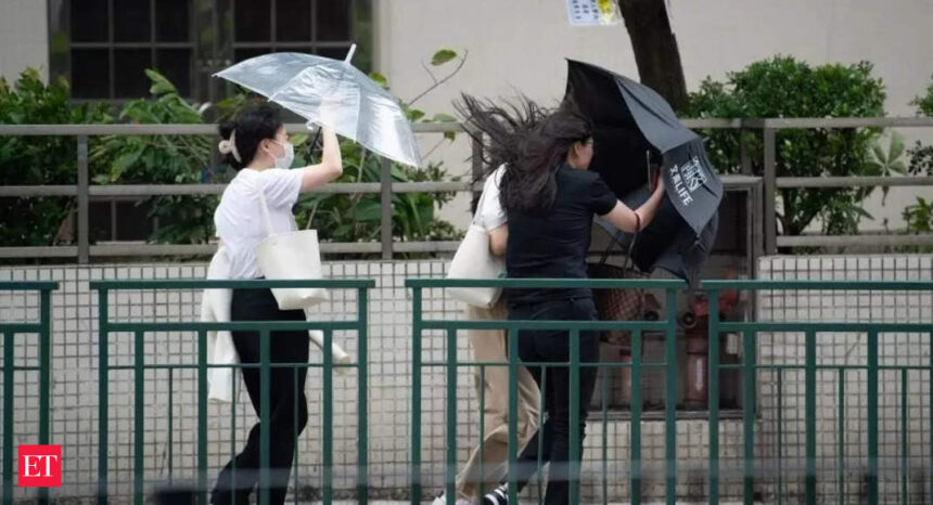
Haikui has weakened from a typhoon to a tropical storm since making landfall in Fujian province on Sept. 5, but its residual circulation has continued to wreak havoc in southern China, with the populous city of Shenzhen deluged by the heaviest rain since records began in 1952. Neighbouring Hong Kong was pelted by the worst storm in 140 years.
Scientists warn that typhoons hitting China are becoming more intense and their paths growing more complex, escalating risk of disaster, even in coastal cities such as Shenzhen that regularly brave tropical cyclones and already have strong flood defence capabilities.
“Typhoons that move far inland affect regions historically less exposed to heavy rainfall and strong wind, often with lower disaster resilience, leading to more severe losses,” said Shao Sun, a climatologist at the University of California, Irvine. “In this case of Shenzhen, the disaster was mainly due to the slow westward movement of Haikui’s residual circulation, which nearly stagnated in its spatial position from the afternoon of Sept. 7 to the early hours of Sept. 8, and a “train effect” of heavy rainfall occurred, causing the event to exceed its expected intensity.” A so-called “train effect” refers to the cumulative effect of multiple convective cloud systems passing over an area in succession, resulting in a significant accumulation of rainfall accumulation and sharply raising the potential for heavy or even extreme rainfall.


