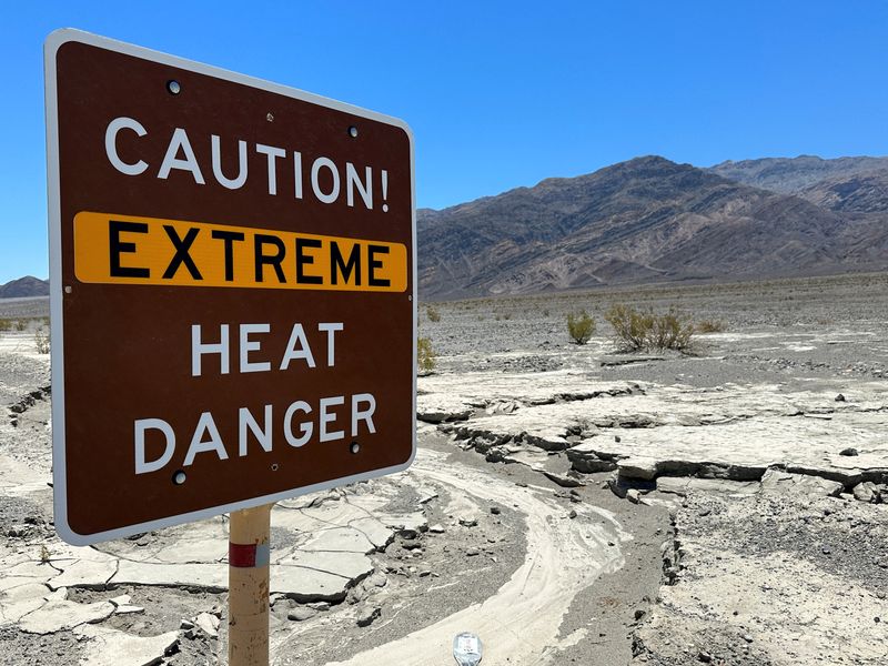
© Reuters. FILE PHOTO: A view of sign board warning of extreme heat in Death Valley, California, U.S. July 15, 2023. REUTERS/Jorge Garcia/File Photo
2/2
By Brad Brooks
(Reuters) – Nearly a quarter of the population in the U.S. is under warnings for extreme heat on Sunday, while an already rain-soaked New England braces for more downpours, the National Weather Service (NWS) said.
The heat warnings spread from the Pacific northwest, down through California, through the Southwest and into the Deep South and Florida.
Temperatures of over 115 Fahrenheit (46 Celsius) are forecast for areas of southern California’s high desert, along with Arizona and Nevada. The NWS said widespread record-breaking high temperatures are likely to be recorded across the Southwest, in the western Gulf Coast and also in south Florida.
Temperatures between 100 F and 110 F are forecast for portions of the Pacific Northwest. That could be particularly dangerous for an area unaccustomed to excessive heat, as many homes do not have central air conditioning, according to data from the U.S. Census Bureau.
The extreme heat in the U.S., with warnings for over 80 million people, is being caused by a mass of high pressure air sitting like a dome atop impacted areas, which blocks any rain storms from moving in to provide cooler weather, the NWS said.
Little relief from the heat is in sight.
“The combination of sizzling temperatures and oppressively high dew points will result in sultry heat throughout the
South into the upcoming week,” the NWS wrote.
Scientists say fossil fuel-driven climate change is heralding more extreme weather like that seen in the U.S. in recent days, warning that the world needs to drastically cut carbon emissions to prevent its catastrophic effects.
EVEN MORE RAIN
The National Weather Service (NWS) said parts of New England and the Mid-Atlantic areas will get hit with storms “capable of producing torrential rainfall” ahead of a cold front approaching from the west. The areas under risk include major cities like New York, Boston and Philadelphia.
“Given some parts of the Northeast contain saturated and sensitive soils from recent heavy rainfall over the past 10 days, this is a setup primed to produce flash flooding that could be significant in affected areas,” the NWS said in a Sunday morning forecast.
The NWS said the northeast could experience impassable roadways, tornadoes and even mudslides in some areas of higher terrain.
At least three people were swept away and killed by a flash flood on Saturday in Upper Makefield Township in Pennsylvania, about 20 miles northeast of Philadelphia, local police said in a written statement. Rescuers said Sunday they are searching for another three or four people who are unaccounted for in the area.
Flooding inundated the northeast in recent days, with Vermont in particular reporting catastrophic flooding in its capital Montpelier, which is under a flash flood warning again on Sunday.
Outside of the northeast, the NWS forecast heavy rains for some stretches of the central plains and the middle Mississippi Valley, along with eastern Texas, some portions of Arkansas and Louisiana and parts of the Gulf Coast.


