Tropical Storm Idalia strengthened in the Gulf of Mexico as it bore down on Florida, where it’s forecast to make landfall as a hurricane as soon as Wednesday, promising to bring flooding rain to Cuba, Mexico and the southeastern US.
With top winds of 40 miles (64 kilometers) per hour, Idalia was drifting east off Mexico’s Yucatan Peninsula, the US National Hurricane Center said in an update at 11:15 a.m. in New York. Florida Governor Ron DeSantis has urged residents to prepare and declared an emergency in 33 counties mostly along the state’s Gulf coast.
At a news conference Sunday afternoon, DeSantis said the state mobilized 1,100 National Guard troops who will have access to 2,400 high-water vehicles and 12 aircraft that can be used for rescue and recovery. The governor said the majority of emergency resources would be staged in Marion County and parts of north Florida, but warned that hurricane path modeling can be unpredictable and said residents needed to stay vigilant.
Idalia’s winds are forecast to reach at least 90 mph before landfall early Wednesday, making it a Category 1 storm on the five-step Saffir-Simpson scale, Eric Blake, a senior hurricane specialist at the hurricane center wrote in his forecast.
“There’s a notable risk of rapid intensification while the system moves across the record warm eastern and northeastern Gulf of Mexico,” he wrote.
Warmer water is a key ingredient for fueling hurricanes. Rapidly intensifying storms may take emergency managers and residents by surprise because their destructive power can explode in strength in a short period of time.
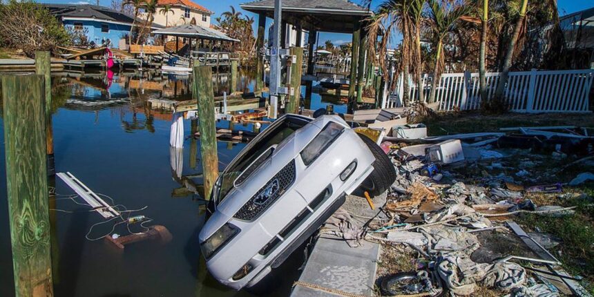
A year ago, Hurricane Ian had a burst of strength before striking western Florida as a Category 4 storm, killing at least 150 people and causing more than $112 billion in damage, the hurricane center said.
Active Phase
The Atlantic storm season is well ahead of its historic pace and has entered its most active phase. Idalia would be the 10th storm of the year, including an unnamed system in January, a tally that’s usually reached by Sept. 22, according to the Hurricane Center.
Only six years have produced 10 or more storms by Aug. 27, Phil Klotzbach, a hurricane researcher at Colorado State University said in a social media post. Five of them went on to be among the most active years on record, including 2020 that produced 30 storms and 2005 that spun up 28.
Idalia is expected to stay in the eastern Gulf, away from offshore oil and natural gas production. However it may affect agriculture across the South, as well as bringing widespread power outages, and tying up land and air travel.
The storm is forecast to drop heavy rain across the Yucatan and western Cuba in the next few days before coming north. After it lands in Florida flooding downpours will be likely through Georgia, South Carolina, and North Carolina later in the week.
Meanwhile to the east, Hurricane Franklin is gathering strength south-southwest of Bermuda. It’s forecast to develop into a Category 4 hurricane, but isn’t expected to strike land as it moves north through the Atlantic.
— With assistance by Immanual John Milton


